Dodge Ridge
 Pinecrest, California$$$
About this mountain
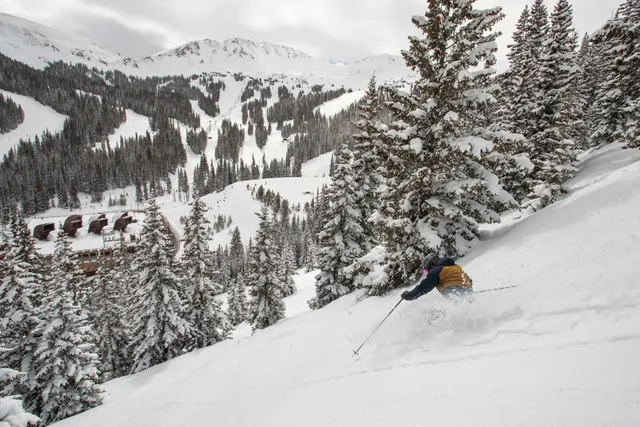
Dodge Ridge opened in 1950, making it one of the older ski areas in the Sierra Nevada. Located near Pinecrest in Tuolumne County, it developed as a family-oriented destination serving the Central Valley, particularly skiers from the Stockton, Modesto, and Fresno areas who found it more accessible than resorts farther north on Interstate 80. Over the decades it built a reputation as a straightforward, unpretentious mountain where beginners and intermediate skiers could develop skills without the crowds or costs associated with larger Lake Tahoe resorts. It has long been a popular destination for school groups and families introducing younger skiers to the sport.
The mountain offers 1,600 feet of vertical drop between a 6,600-foot base and an 8,200-foot summit, with 862 skiable acres served by 8 lifts. The longest run stretches 2 miles, and the area averages around 375 inches of snowfall annually. The terrain skews toward beginner and intermediate difficulty, making it genuinely well suited to those still building confidence, though experienced skiers will find steeper pitches available. Access is straightforward via Highway 108, and the atmosphere at the base area remains low-key and functional rather than resort-village in character.
Rankings
Where Dodge Ridge places by community score.
Read: Best Resorts in USA →Conditions
Recent snowfall
Storm tracker0.0" in the last seven days
Nov 5
Nov 6
Nov 7
Nov 8
Snow reliability
From 20 seasons of snowfall history, matched to the published annual average
Reliability
73/100 · Reliable
More reliable than 85% of mountains
Best weeks
Dec 6–26
Mid-season dry spellThe share of past seasons with a stretch of 14 days or more in a row with no real new snow (under 1 cm, about half an inch, a day), in the heart of the season: mid-December to mid-March (mid-June to mid-September in the Southern Hemisphere).
70% of years
Fewer dry spells than 18% of mountains
Chance of a 6"+ day, by week
Tap a weekHover a week
Powder quality
How often the snow falls light and dry, from 20 seasons of hourly weather
Light and dry
62%
of its snow falls below 28°F
Region rank
#12 in the Sierra Nevada
of 25 mountains
State rank
#11 in California
of 27 mountains
Snow by type
Cold smoke14%
Under 20°F
Dry49%
20–28°F
Dense27%
28–32°F
Wet11%
Over 32°F
Light and dry, compared
Mountain
Vertical drop
1,600 ft
Base elevation
6,600 ft
Peak elevation
8,200 ft
Size (acres)
862
Total lifts
8
Longest run
2 mi
Annual snowfall
375"
Total trails
67
Terrain parks
0
Sun & shade
Mostly northwest-facing: holds snow well, cold in January.
Which runs are sunny, hour by hour →Trail breakdown
All lifts & trailsMountain DNA
Compare this mountain →How Dodge Ridge ranks on each trait against every mountain on Slope Vaults. Dashed line: the median mountain.
Known for snow and reliability. Closest match: Eldora Mountain (91% alike).
- Size
- Vertical
- Snow
- Reliability
- Steeps
- Cruisers
- Value
Reviews
What users say
No reviews yet
Be the first to say what it’s like.
Nearby
Getting there
The closest major airport is San Francisco International Airport (SFO), roughly a 3-hour drive away, with Sacramento International (SMF) offering a slightly shorter route of around 2.5 hours. Fresno Yosemite International (FAT) is another option from the south, at approximately 2 hours. All three airports have major car rental options, and a personal vehicle is effectively required, as there is no dedicated ski shuttle or public transit serving Dodge Ridge.
The main access road is Highway 108, which climbs east from Sonora through the Stanislaus National Forest to Pinecrest. The road can close or require tire chains during heavy snowfall, so checking Caltrans road conditions before departure is advisable. Most visitors base themselves in Sonora, roughly 30 miles west, which offers the widest selection of lodging and services in the area.
While you’re there
The mountain's own Dodge Ridge Lodge at the base serves burgers, chili and hot drinks, a straightforward spot to warm up between runs. The nearest town of Pinecrest is small, so most visitors head roughly 30 miles down Highway 108 to Sonora for a wider choice of restaurants and bars.
Away from the slopes, Pinecrest Lake is right on the doorstep and worth a walk around in winter when the crowds are gone. Snowshoeing and cross-country skiing are available in the surrounding Stanislaus National Forest, and the area draws snowmobilers to groomed trails nearby. For a longer cultural detour, the historic Gold Rush town of Columbia State Historic Park is around an hour away by car.
Mountains like this
Matched on size, snow, terrain and more